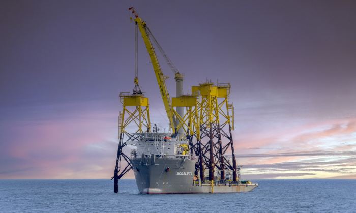
After many Boskalis projects, the often-stunning photographs are what people mainly remember; Boskalis’ cranes vessels installing huge wind turbine foundations on the seabed, for example, or trailing suction hopper dredgers rainbowing enormous amounts of sand to strengthen the Dutch coast, and countless other photogenic moments. The spotlight often misses a less conspicuous activity that is just as important for the successful implementation of projects: marine survey. Welcome to the world of Gardline.
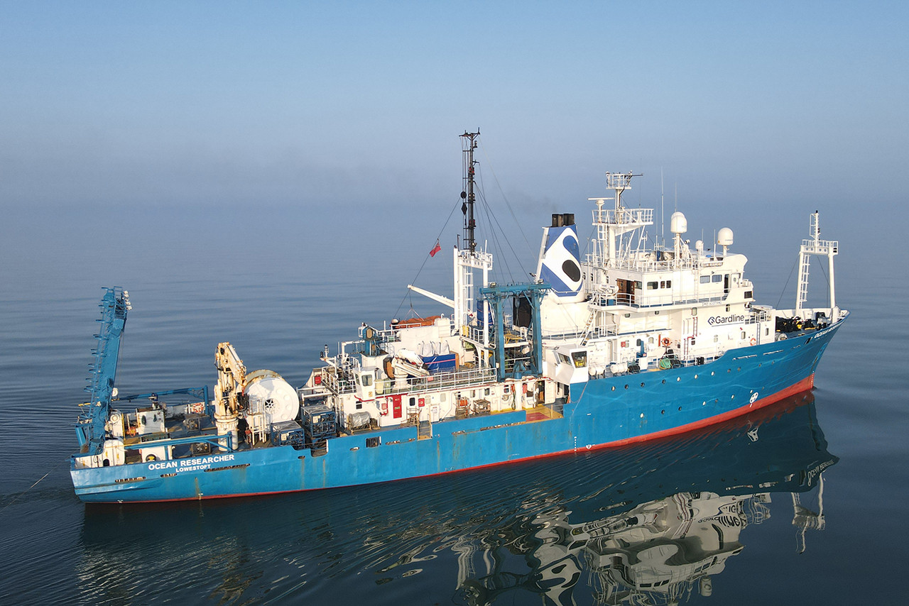
Some four years ago, Gardline’s survey vessel Ocean Researcher sailed across the Atlantic for a preliminary study on the East Coast of the United States to look at whether the construction of multiple offshore wind farms was feasible. After many months of surveys with sonar, multibeam, single and multi-channel seismic equipment, seabed sampling equipment, as well as a range of shore-based laboratory tests, our Gardline colleagues reported the details within a so-called geophysical survey interpretation report. Now, we are several stages further and the first wind farms are being constructed along the East Coast, including by Boskalis.
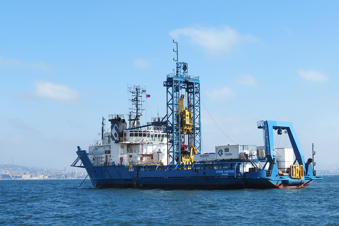
The UK-based Gardline was acquired by Boskalis almost six years ago. During that period four vessels have been purchased and converted into state-of-the-art survey vessels. Gardline’s fleet of seven dedicated survey vessels is one of the most competitive in the sector. The company operates in two arenas simultaneously: the oil and gas market, and the offshore wind market. For each market, there are two fully-equipped survey vessels. The three other survey vessels can be deployed flexibly. For over 50 years, Gardline has specialized in surveys of the ocean floor and what lies deep below it. In addition to geophysical and environmental surveys, which are often conducted with equipment from the vessels without disturbing the seabed, Gardline also conducts geotechnical site investigation studies up to 100 meters below the seabed.
Environmental surveys
In addition to geophysical and/or geotechnical surveys, Gardline is increasingly conducting environmental surveys for its clients. In studies of this kind, Gardline employs, among others, marine mammal observers. Their work involves monitoring and mitigating against the impact of offshore operations on marine mammals like whales and dolphins. Acoustic engineers also help the client with the preparations for this ‘noisy’ work, making calculations to decide, for instance, whether a single or double bubble screen should be used during the installation of monopile foundations for wind turbines. Gardline’s general manager Alan Pillar: “However, this doesn’t just stop there, environmental surveying continues even after the completion of a project. Owners of wind farms can be required by government authorities to periodically check whether a wind farm has not caused any changes on the seabed or disturbed underwater life.”
Nothing changes as quickly as the seabed
Congested seabed
This means that survey work on the seabed is almost always needed. ”Nothing changes as quickly as the seabed: it is a dynamic environment with currents, marine life and all the developments initiated by oil and gas companies and the wind industry,” says Pillar “I still get surprised by the sheer number of pipelines, power lines and other infrastructure on the seabed. There is also a huge amount of unexploded ordnance from the World Wars in the North Sea. And there are shipwrecks all over the world.”
Because of the overcrowded seabed, every new project requires a thorough survey. “The days when companies could lay cables anywhere they wanted from behind the drawing board really are over. In the North Sea and on the East Coast of the US, you can hardly lay a cable in a straight line any longer. It’s just like in our streets: one company comes along to dig up the pavement to replace a pipe, and another one turns up two weeks later to fix an Internet cable. Things on the seabed are just the same: the view never stops changing,” says Pillar.
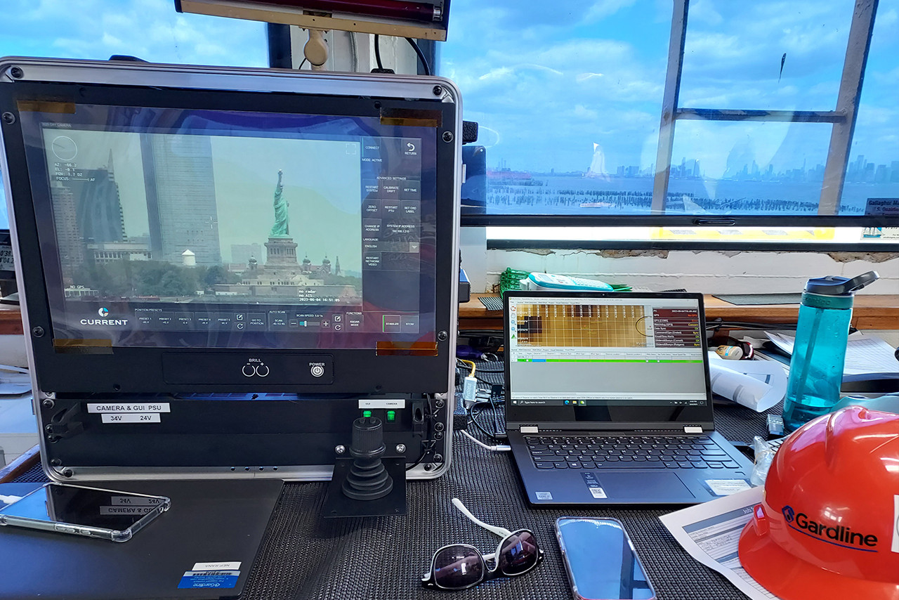
Survey methods
The Gardline fleet is therefore sailing all the time to future project locations to establish a picture of what is possible, and what isn’t, and to derisk the development phase. Each part of the seabed is actually surveyed by multiple surveying devices, Pillar:. “There are many different methods for mapping out the seabed, including side scan sonar, air guns and multibeam echo sounders. Each method produces its own specific information. The combination leads to the final result: the report that the client needs for the future development in that area.”